Cattle grid
Introduction
The photograph on this page of Cattle grid by Richard Dorrell as part of the Geograph project.
The Geograph project started in 2005 with the aim of publishing, organising and preserving representative images for every square kilometre of Great Britain, Ireland and the Isle of Man.

There are currently over 7.5m images from over 14,400 individuals and you can help contribute to the project by visiting https://www.geograph.org.uk
Cattle grid
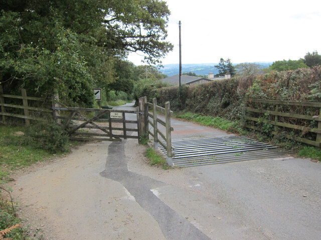
Image: © Richard Dorrell Taken: 13 Oct 2021
The road descends into Green Lane village.
Images are licensed for reuse under creativecommons.org/licenses/by-sa/2.0
Image Location
Latitude
50.582755
Longitude
-3.723889