Access to the bins
Introduction
The photograph on this page of Access to the bins by M J Richardson as part of the Geograph project.
The Geograph project started in 2005 with the aim of publishing, organising and preserving representative images for every square kilometre of Great Britain, Ireland and the Isle of Man.

There are currently over 7.5m images from over 14,400 individuals and you can help contribute to the project by visiting https://www.geograph.org.uk
Access to the bins
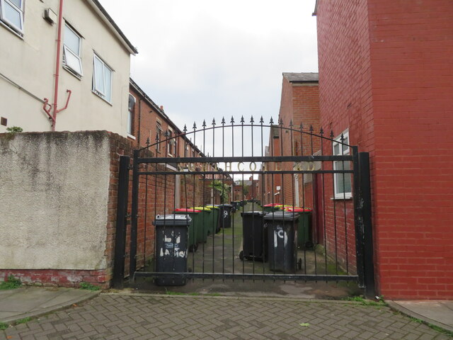
Image: © M J Richardson Taken: 23 Oct 2021
In this area of terraced houses the narrow back lanes between each pair of parallel terraces are gated, presumably for security.
Images are licensed for reuse under creativecommons.org/licenses/by-sa/2.0
Image Location
Latitude
53.756749
Longitude
-2.715846