Porthcawl breakwater
Introduction
The photograph on this page of Porthcawl breakwater by Colin Prosser as part of the Geograph project.
The Geograph project started in 2005 with the aim of publishing, organising and preserving representative images for every square kilometre of Great Britain, Ireland and the Isle of Man.

There are currently over 7.5m images from over 14,400 individuals and you can help contribute to the project by visiting https://www.geograph.org.uk
Porthcawl breakwater
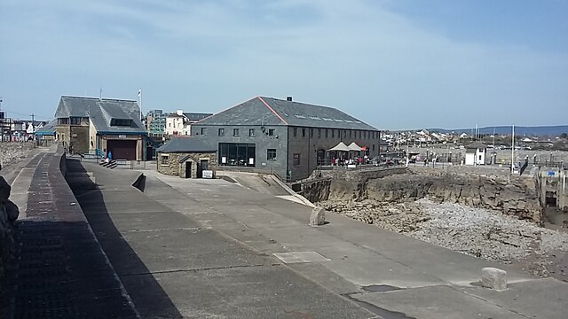
Image: © Colin Prosser Taken: 30 Mar 2021
Porthcawl breakwater, view from the breakwater at Porthcawl, towards Jennings building, the Lifeboat station, and the now disused customs office
Images are licensed for reuse under creativecommons.org/licenses/by-sa/2.0
Image Location
Latitude
51.474379
Longitude
-3.701717