Bridge at Buckland Mill
Introduction
The photograph on this page of Bridge at Buckland Mill by Derek Harper as part of the Geograph project.
The Geograph project started in 2005 with the aim of publishing, organising and preserving representative images for every square kilometre of Great Britain, Ireland and the Isle of Man.

There are currently over 7.5m images from over 14,400 individuals and you can help contribute to the project by visiting https://www.geograph.org.uk
Bridge at Buckland Mill
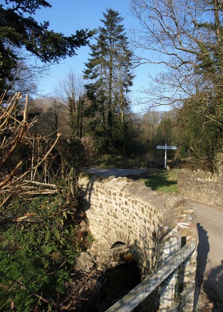
Image: © Derek Harper Taken: 16 Feb 2008
This is the bridge seen in Image from the opposite direction, rather than Image, which is just off to the right. It crosses the stream descending to join the Duntz from below Buckland Brewer village. In the background is a road junction where lanes meet from Buckland Brewer, Hele, and Frithelstock Stone.
Images are licensed for reuse under creativecommons.org/licenses/by-sa/2.0
Image Location


Leaflet Map data © OpenStreetMap
Latitude
50.95992
Longitude
-4.22953