Churchfields
Introduction
The photograph on this page of Churchfields by Stephen McKay as part of the Geograph project.
The Geograph project started in 2005 with the aim of publishing, organising and preserving representative images for every square kilometre of Great Britain, Ireland and the Isle of Man.

There are currently over 7.5m images from over 14,400 individuals and you can help contribute to the project by visiting https://www.geograph.org.uk
Churchfields
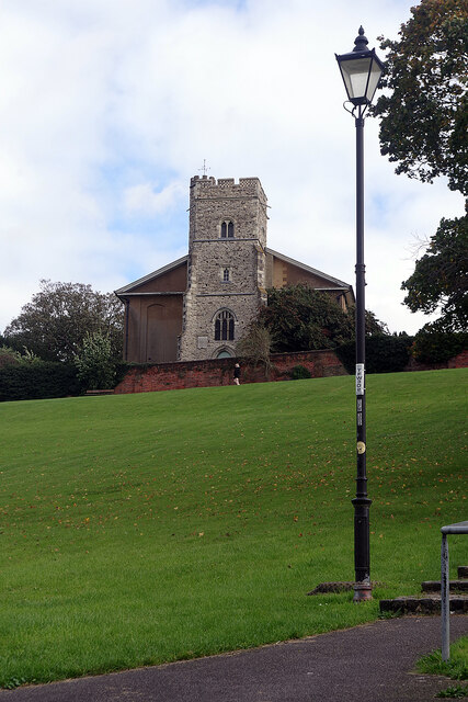
Image: © Stephen McKay Taken: 22 Oct 2021
Churchfields is an open space occupying a steep bank above Rochester Esplanade. According to a nearby plaque it was presented to the City of Rochester by Councillor Charles Willis JP in 1906. It is overlooked by St Margaret's Church - a curious building that mostly dates from the mid-19th century but incorporates a much earlier tower thought to have been built around 1465.
Images are licensed for reuse under creativecommons.org/licenses/by-sa/2.0
Image Location
Latitude
51.385018
Longitude
0.498452