Field and valleys near Buckland Brewer
Introduction
The photograph on this page of Field and valleys near Buckland Brewer by Derek Harper as part of the Geograph project.
The Geograph project started in 2005 with the aim of publishing, organising and preserving representative images for every square kilometre of Great Britain, Ireland and the Isle of Man.

There are currently over 7.5m images from over 14,400 individuals and you can help contribute to the project by visiting https://www.geograph.org.uk
Field and valleys near Buckland Brewer
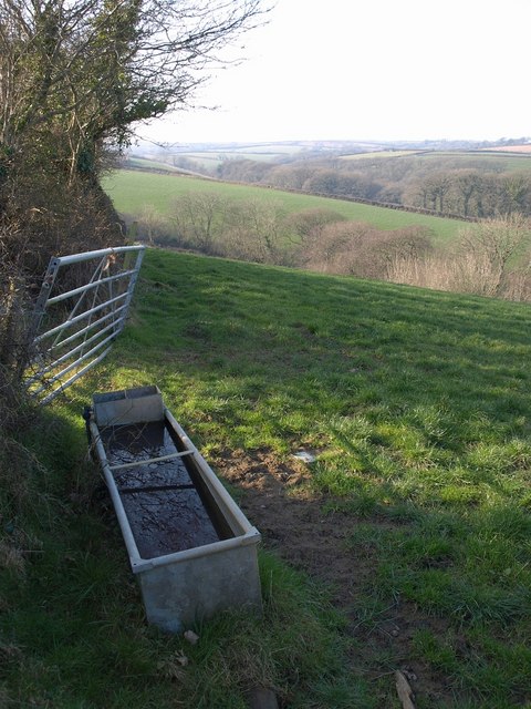
Image: © Derek Harper Taken: 16 Feb 2008
From the lane from Buckland Mill to North Hele, a view past a metal drinking trough and a gate along a sloping field which dips into a valley, which like the larger one beyond, drains into the River Duntz at the mill.
Images are licensed for reuse under creativecommons.org/licenses/by-sa/2.0
Image Location
Latitude
50.955362
Longitude
-4.237428