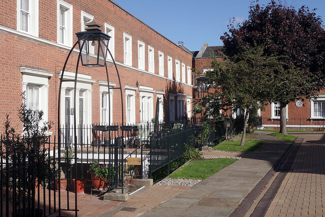
La Providence, Rochester
Introduction
The photograph on this page of La Providence, Rochester by Stephen McKay as part of the Geograph project.
The Geograph project started in 2005 with the aim of publishing, organising and preserving representative images for every square kilometre of Great Britain, Ireland and the Isle of Man.
There are currently over 7.5m images from over 14,400 individuals and you can help contribute to the project by visiting https://www.geograph.org.uk

Image: © Stephen McKay Taken: 22 Oct 2021
The houses here were built in the mid-19th century and the development, off Rochester's High Street, was called Theobald Square. In the late 1950s the directors of the French Hospital, founded in 1718 to provide housing for poor French Protestants (Huguenots), were looking for new premises to replace their Victorian house in Horsham. Theobald Square was acquired and, after extensive refurbishment, the new almshouses opened in 1959. The square was eventually officially renamed La Providence and the attractive buildings continue to serve 'Huguenots and others'. They are grade II listed.

