Graveyard, Thornehillhead Methodist Church
Introduction
The photograph on this page of Graveyard, Thornehillhead Methodist Church by Derek Harper as part of the Geograph project.
The Geograph project started in 2005 with the aim of publishing, organising and preserving representative images for every square kilometre of Great Britain, Ireland and the Isle of Man.

There are currently over 7.5m images from over 14,400 individuals and you can help contribute to the project by visiting https://www.geograph.org.uk
Graveyard, Thornehillhead Methodist Church
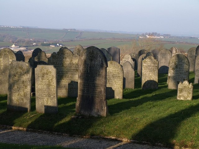
Image: © Derek Harper Taken: 16 Feb 2008
Gravestones beside the path to the church. In the background left are houses at Tythecott, and Bucknand Brewer on a hilltop.
Images are licensed for reuse under creativecommons.org/licenses/by-sa/2.0
Image Location
Latitude
50.926176
Longitude
-4.258511