Mangotsfield war memorial
Introduction
The photograph on this page of Mangotsfield war memorial by Neil Owen as part of the Geograph project.
The Geograph project started in 2005 with the aim of publishing, organising and preserving representative images for every square kilometre of Great Britain, Ireland and the Isle of Man.

There are currently over 7.5m images from over 14,400 individuals and you can help contribute to the project by visiting https://www.geograph.org.uk
Mangotsfield war memorial
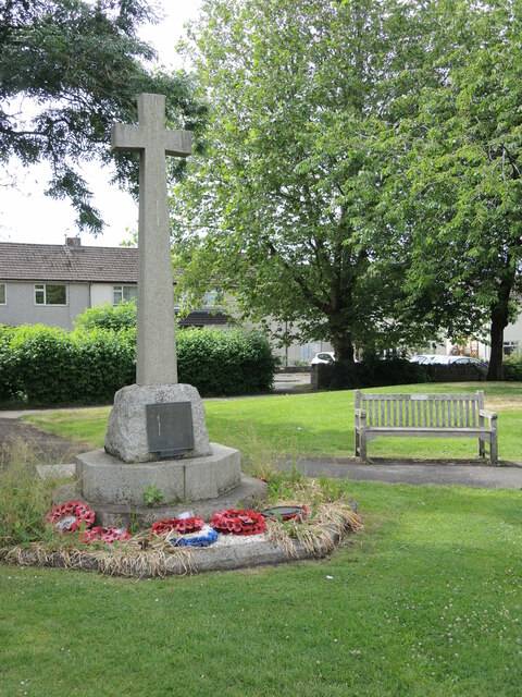
Image: © Neil Owen Taken: 24 Jun 2021
The memorial was erected by local voluntary contributions in 1919 and used to stand a little further north originally.
Images are licensed for reuse under creativecommons.org/licenses/by-sa/2.0
Image Location
Latitude
51.482309
Longitude
-2.485252