River Nene Navigation, Ditchford Lock
Introduction
The photograph on this page of River Nene Navigation, Ditchford Lock by David Dixon as part of the Geograph project.
The Geograph project started in 2005 with the aim of publishing, organising and preserving representative images for every square kilometre of Great Britain, Ireland and the Isle of Man.

There are currently over 7.5m images from over 14,400 individuals and you can help contribute to the project by visiting https://www.geograph.org.uk
River Nene Navigation, Ditchford Lock
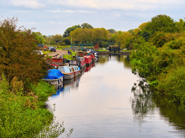
Image: © David Dixon Taken: 18 Oct 2021
The Nene is navigable from just above its junction with the Northampton Arm of the Grand Union Canal to the sea. Most leisure use is between Northampton and Peterborough, where it makes a junction with the Middle Level Navigations at Stanground Sluice, which give access to the Bedfordshire River Ouse.
Images are licensed for reuse under creativecommons.org/licenses/by-sa/2.0
Image Location


Leaflet Map data © OpenStreetMap
Latitude
52.304381
Longitude
-0.634539