The north end of Flat Lane
Introduction
The photograph on this page of The north end of Flat Lane by Stephen Craven as part of the Geograph project.
The Geograph project started in 2005 with the aim of publishing, organising and preserving representative images for every square kilometre of Great Britain, Ireland and the Isle of Man.

There are currently over 7.5m images from over 14,400 individuals and you can help contribute to the project by visiting https://www.geograph.org.uk
The north end of Flat Lane
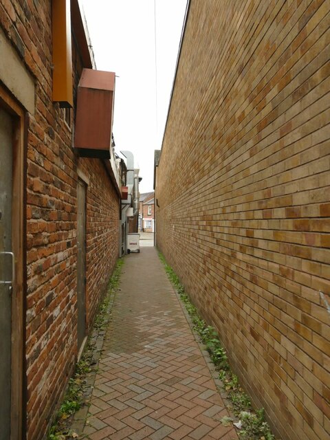
Image: © Stephen Craven Taken: 17 Oct 2021
The lane predates all the 19th-21st century developments south of the high street, and runs for 1km to Mill Hill. This is the other end approaching the High Street where it now takes the form of a narrow passageway between shops. It is marked on OS maps as a public footpath.
Images are licensed for reuse under creativecommons.org/licenses/by-sa/2.0
Image Location
Latitude
53.143343
Longitude
-2.362795