Looking south to Seatoller
Introduction
The photograph on this page of Looking south to Seatoller by Paul Taylor as part of the Geograph project.
The Geograph project started in 2005 with the aim of publishing, organising and preserving representative images for every square kilometre of Great Britain, Ireland and the Isle of Man.

There are currently over 7.5m images from over 14,400 individuals and you can help contribute to the project by visiting https://www.geograph.org.uk
Looking south to Seatoller
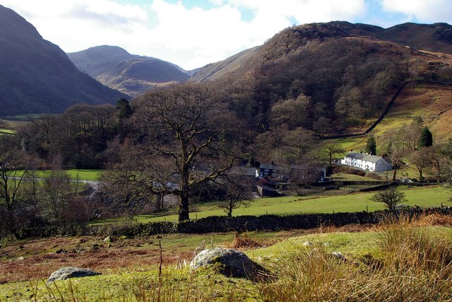
Image: © Paul Taylor Taken: 26 Feb 2007
View from High Doat with the Borrowdale village of Seatoller in the middle distance. In Elizabethan times, Seatoller was home to German miners who mined graphite, valuable in the production of dyes, medicines, shot cannon balls and bombs.
Images are licensed for reuse under creativecommons.org/licenses/by-sa/2.0
Image Location
Latitude
54.513586
Longitude
-3.167706