Glascoed boundary sign, Monmouthshire
Introduction
The photograph on this page of Glascoed boundary sign, Monmouthshire by Jaggery as part of the Geograph project.
The Geograph project started in 2005 with the aim of publishing, organising and preserving representative images for every square kilometre of Great Britain, Ireland and the Isle of Man.

There are currently over 7.5m images from over 14,400 individuals and you can help contribute to the project by visiting https://www.geograph.org.uk
Glascoed boundary sign, Monmouthshire
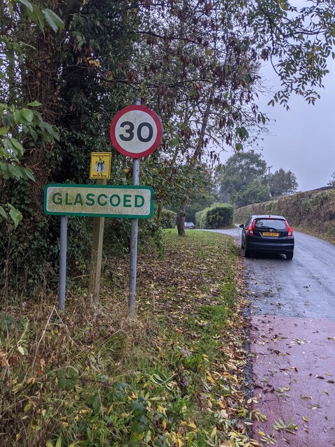
Image: © Jaggery Taken: 17 Oct 2021
At the point where the National Speed Limit drops to 30mph.
Images are licensed for reuse under creativecommons.org/licenses/by-sa/2.0
Image Location
Latitude
51.71105
Longitude
-2.965608