Local road in Strathcanaird
Introduction
The photograph on this page of Local road in Strathcanaird by Peter Wood as part of the Geograph project.
The Geograph project started in 2005 with the aim of publishing, organising and preserving representative images for every square kilometre of Great Britain, Ireland and the Isle of Man.

There are currently over 7.5m images from over 14,400 individuals and you can help contribute to the project by visiting https://www.geograph.org.uk
Local road in Strathcanaird
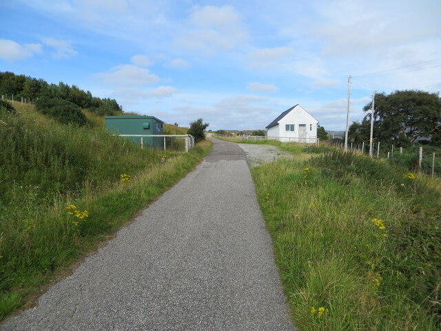
Image: © Peter Wood Taken: 30 Aug 2021
Looking north-eastward. Prior to realignment and widening of the A835 this would have been the main south/north route.
Images are licensed for reuse under creativecommons.org/licenses/by-sa/2.0
Image Location
Latitude
57.968352
Longitude
-5.128107