The Malvern Hills (Viewed from Pendock)
Introduction
The photograph on this page of The Malvern Hills (Viewed from Pendock) by Fabian Musto as part of the Geograph project.
The Geograph project started in 2005 with the aim of publishing, organising and preserving representative images for every square kilometre of Great Britain, Ireland and the Isle of Man.

There are currently over 7.5m images from over 14,400 individuals and you can help contribute to the project by visiting https://www.geograph.org.uk
The Malvern Hills (Viewed from Pendock)
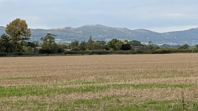
Image: © Fabian Musto Taken: 14 Oct 2021
Taken from the track leading to the old village church. The hills from left to right are Black Hill, Pinnacle Hill, Jubilee Hill and Perseverance Hill. Those hills are 1,011ft (308m), 1,174ft (358m), 1,073ft (327m) and 1,066ft (325m) tall respectively.
Images are licensed for reuse under creativecommons.org/licenses/by-sa/2.0
Image Location


Leaflet Map data © OpenStreetMap
Latitude
52.003136
Longitude
-2.270757