Glaisdale, The Green
Introduction
The photograph on this page of Glaisdale, The Green by Mel Towler as part of the Geograph project.
The Geograph project started in 2005 with the aim of publishing, organising and preserving representative images for every square kilometre of Great Britain, Ireland and the Isle of Man.

There are currently over 7.5m images from over 14,400 individuals and you can help contribute to the project by visiting https://www.geograph.org.uk
Glaisdale, The Green
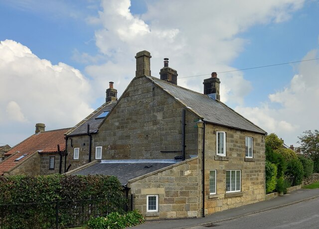
Image: © Mel Towler Taken: 9 Sep 2021
A wider angle showing a private house on the eastern side of The Green in Glaisdale. On the road facing wall, and slightly obscured by the drainpipe there is a benchmark cut into the cornerstone of the 2nd course.
Images are licensed for reuse under creativecommons.org/licenses/by-sa/2.0
Image Location
Latitude
54.441279
Longitude
-0.808535