Owen Road near Graiseley in Wolverhampton
Introduction
The photograph on this page of Owen Road near Graiseley in Wolverhampton by Roger Kidd as part of the Geograph project.
The Geograph project started in 2005 with the aim of publishing, organising and preserving representative images for every square kilometre of Great Britain, Ireland and the Isle of Man.

There are currently over 7.5m images from over 14,400 individuals and you can help contribute to the project by visiting https://www.geograph.org.uk
Owen Road near Graiseley in Wolverhampton
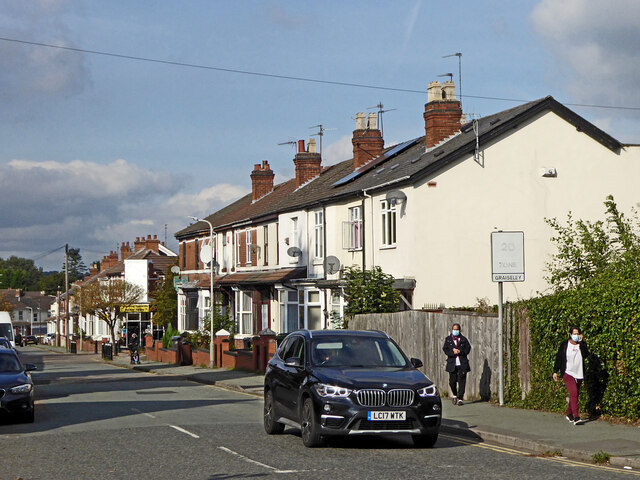
Image: © Roger Kidd Taken: 10 Oct 2021
Looking north-west towards Merridale and Bradmore, from the junction with Lea Road. Nineteen months after the first Covid-19 full lockdown, restrictions no longer apply in England, but caution is still advised. I estimate less than 20% are wearing face masks outdoors in Wolverhampton, but more (up to 40%?) on public transport and in shops.
Images are licensed for reuse under creativecommons.org/licenses/by-sa/2.0
Image Location
Latitude
52.576492
Longitude
-2.141176