Lea Road near Graiseley in Wolverhampton
Introduction
The photograph on this page of Lea Road near Graiseley in Wolverhampton by Roger Kidd as part of the Geograph project.
The Geograph project started in 2005 with the aim of publishing, organising and preserving representative images for every square kilometre of Great Britain, Ireland and the Isle of Man.

There are currently over 7.5m images from over 14,400 individuals and you can help contribute to the project by visiting https://www.geograph.org.uk
Lea Road near Graiseley in Wolverhampton
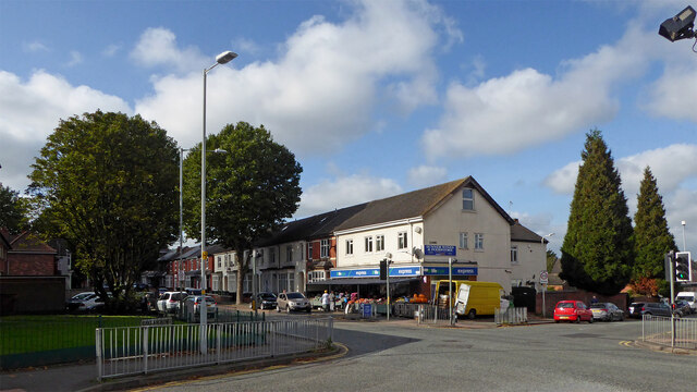
Image: © Roger Kidd Taken: 10 Oct 2021
Looking west-south-west at the junction with Oaklands Road. Owen Road leads off towards Merridale, past the red car.
Images are licensed for reuse under creativecommons.org/licenses/by-sa/2.0
Image Location
Latitude
52.576043
Longitude
-2.140879