Stanhome Square, east side
Introduction
The photograph on this page of Stanhome Square, east side by Alan Murray-Rust as part of the Geograph project.
The Geograph project started in 2005 with the aim of publishing, organising and preserving representative images for every square kilometre of Great Britain, Ireland and the Isle of Man.

There are currently over 7.5m images from over 14,400 individuals and you can help contribute to the project by visiting https://www.geograph.org.uk
Stanhome Square, east side
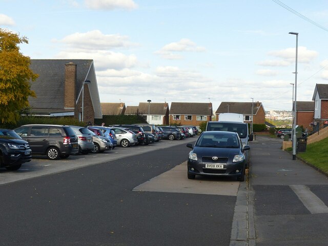
Image: © Alan Murray-Rust Taken: 10 Oct 2021
The concrete section of roadway on the right is a reminder that this was once the terminus of the bus service to Wolds Estate.
Images are licensed for reuse under creativecommons.org/licenses/by-sa/2.0
Image Location
Latitude
52.913654
Longitude
-1.143247