Line of the Loch Katrine scheme aqueduct
Introduction
The photograph on this page of Line of the Loch Katrine scheme aqueduct by Richard Sutcliffe as part of the Geograph project.
The Geograph project started in 2005 with the aim of publishing, organising and preserving representative images for every square kilometre of Great Britain, Ireland and the Isle of Man.

There are currently over 7.5m images from over 14,400 individuals and you can help contribute to the project by visiting https://www.geograph.org.uk
Line of the Loch Katrine scheme aqueduct
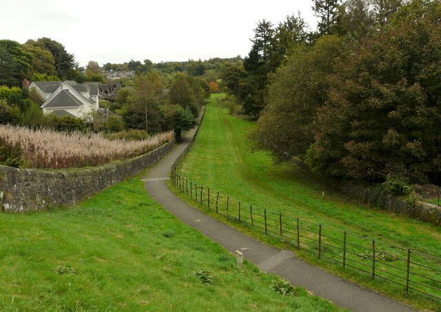
Image: © Richard Sutcliffe Taken: 11 Oct 2021
The path follows the line of the pipes carrying water from Loch Katrine to Glasgow. The wall and fencing are typical of a typical Glasgow Waterworks design.
Images are licensed for reuse under creativecommons.org/licenses/by-sa/2.0
Image Location
Latitude
55.987219
Longitude
-4.315958