The road to Rectory Farm
Introduction
The photograph on this page of The road to Rectory Farm by John Sutton as part of the Geograph project.
The Geograph project started in 2005 with the aim of publishing, organising and preserving representative images for every square kilometre of Great Britain, Ireland and the Isle of Man.

There are currently over 7.5m images from over 14,400 individuals and you can help contribute to the project by visiting https://www.geograph.org.uk
The road to Rectory Farm
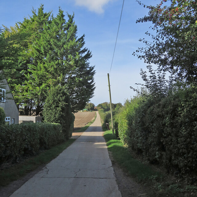
Image: © John Sutton Taken: 11 Oct 2021
Sunlight and shadows on a fine October morning. The farmhouse is between Limepit Hill and Mag's Hill, two of the Gog Magog Hills south-east of Cambridge. The picture was taken from Babraham Road, which serves a number of farms and businesses south of Fulbourn but does not reach Babraham.
Images are licensed for reuse under creativecommons.org/licenses/by-sa/2.0
Image Location


Leaflet Map data © OpenStreetMap
Latitude
52.168748
Longitude
0.210897