Former textile factory
Introduction
The photograph on this page of Former textile factory by Ian Capper as part of the Geograph project.
The Geograph project started in 2005 with the aim of publishing, organising and preserving representative images for every square kilometre of Great Britain, Ireland and the Isle of Man.

There are currently over 7.5m images from over 14,400 individuals and you can help contribute to the project by visiting https://www.geograph.org.uk
Former textile factory
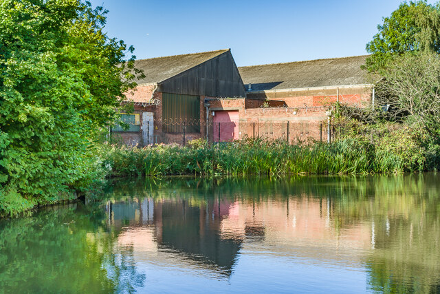
Image: © Ian Capper Taken: 23 Sep 2021
Former textile factory alongside the Coventry Canal, later housing a conservatory manufacturer. At this point the canal widens to form Foleshill winding hole, put in place for turning boats.
Images are licensed for reuse under creativecommons.org/licenses/by-sa/2.0
Image Location
Latitude
52.434312
Longitude
-1.490557