Nell's Point direction sign, Barry Island
Introduction
The photograph on this page of Nell's Point direction sign, Barry Island by Jaggery as part of the Geograph project.
The Geograph project started in 2005 with the aim of publishing, organising and preserving representative images for every square kilometre of Great Britain, Ireland and the Isle of Man.

There are currently over 7.5m images from over 14,400 individuals and you can help contribute to the project by visiting https://www.geograph.org.uk
Nell's Point direction sign, Barry Island
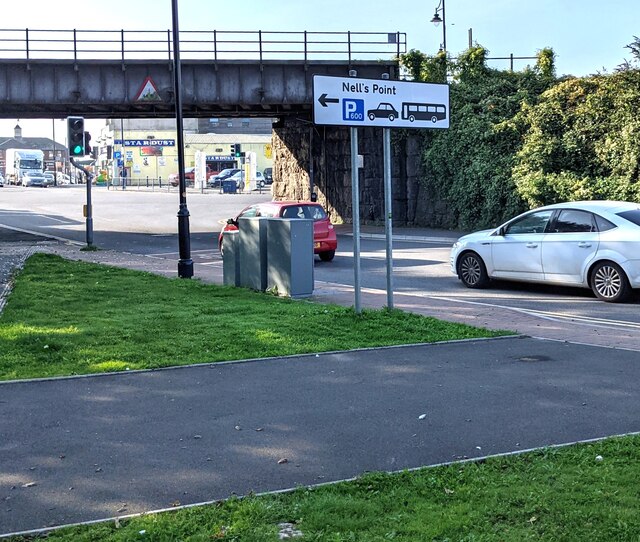
Image: © Jaggery Taken: 9 Oct 2021
The sign indicates a parking area for 600 vehicles (cars and coaches).
Images are licensed for reuse under creativecommons.org/licenses/by-sa/2.0
Image Location
Latitude
51.392562
Longitude
-3.276098