Hopton Castle features [3]
Introduction
The photograph on this page of Hopton Castle features [3] by Michael Dibb as part of the Geograph project.
The Geograph project started in 2005 with the aim of publishing, organising and preserving representative images for every square kilometre of Great Britain, Ireland and the Isle of Man.

There are currently over 7.5m images from over 14,400 individuals and you can help contribute to the project by visiting https://www.geograph.org.uk
Hopton Castle features [3]
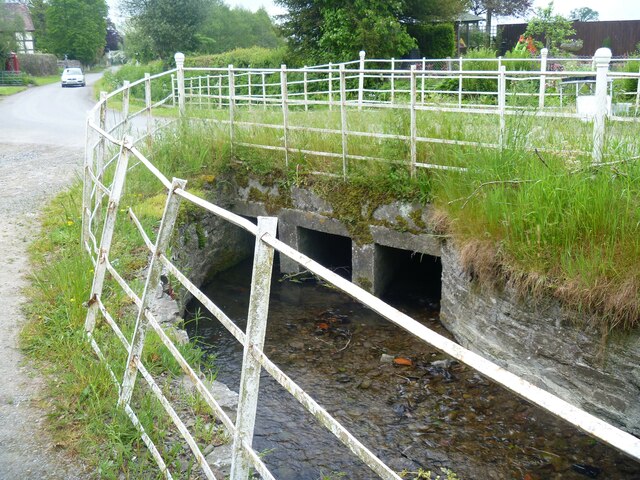
Image: © Michael Dibb Taken: 3 Jun 2021
This utilitarian bridge carries the minor road over the unnamed stream. Hopton Castle is a small village in the south of Shropshire near the boundaries of Wales and Herefordshire. It lies some 6 miles northeast of Knighton and some 3½ miles northwest of Leintwardine. Its main feature is the ruins of a castle.
Images are licensed for reuse under creativecommons.org/licenses/by-sa/2.0
Image Location
Latitude
52.397744
Longitude
-2.936147