Coventry Canal
Introduction
The photograph on this page of Coventry Canal by Ian Capper as part of the Geograph project.
The Geograph project started in 2005 with the aim of publishing, organising and preserving representative images for every square kilometre of Great Britain, Ireland and the Isle of Man.

There are currently over 7.5m images from over 14,400 individuals and you can help contribute to the project by visiting https://www.geograph.org.uk
Coventry Canal
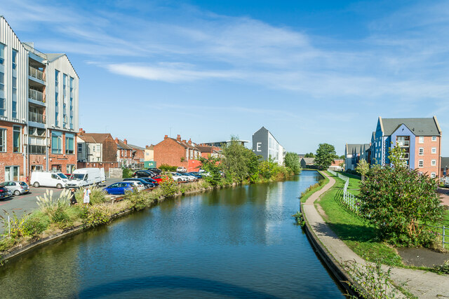
Image: © Ian Capper Taken: 23 Sep 2021
Looking along the Coventry Canal. On the left are two parts of Electric Wharf, the name given to the early 2000s commercial and residential redevelopment of the 1895 Sandy Lane Power Station, with early 20th Century houses in Aldbourne Road between them. On the right are Progress House, Waterways House and Potters House in Quayside Court, completed in 2016/7.
Images are licensed for reuse under creativecommons.org/licenses/by-sa/2.0
Image Location
Latitude
52.417918
Longitude
-1.510713