LiDL at junction of Crosby Road and The Link
Introduction
The photograph on this page of LiDL at junction of Crosby Road and The Link by Roger Templeman as part of the Geograph project.
The Geograph project started in 2005 with the aim of publishing, organising and preserving representative images for every square kilometre of Great Britain, Ireland and the Isle of Man.

There are currently over 7.5m images from over 14,400 individuals and you can help contribute to the project by visiting https://www.geograph.org.uk
LiDL at junction of Crosby Road and The Link
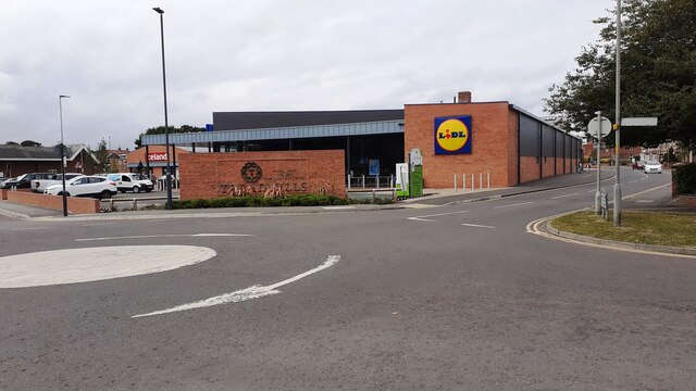
Image: © Roger Templeman Taken: 12 Sep 2021
Ordnance Survey records indicate that a benchmark levelled at 41.073m above Newlyn Datum was verified in 1974 on a wall then present at this location. See www.bench-marks.org.uk/bm32988
Images are licensed for reuse under creativecommons.org/licenses/by-sa/2.0
Image Location
Latitude
54.337872
Longitude
-1.430134