Steeple Bumpstead, Essex
Introduction
The photograph on this page of Steeple Bumpstead, Essex by Glyn Baker as part of the Geograph project.
The Geograph project started in 2005 with the aim of publishing, organising and preserving representative images for every square kilometre of Great Britain, Ireland and the Isle of Man.

There are currently over 7.5m images from over 14,400 individuals and you can help contribute to the project by visiting https://www.geograph.org.uk
Steeple Bumpstead, Essex
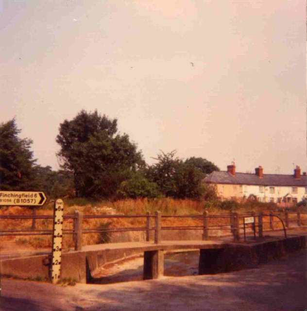
Image: © Glyn Baker Taken: Unknown
This picture was taken in 1975 during a very hot dry summer the canalised stream at the side of the B1057 had dried up almost totally. According to the 1940's map this point in the road was a ford!
Images are licensed for reuse under creativecommons.org/licenses/by-sa/2.0
Image Location
Latitude
52.044667
Longitude
0.446853