Path through Billingside Plantation
Introduction
The photograph on this page of Path through Billingside Plantation by Robert Graham as part of the Geograph project.
The Geograph project started in 2005 with the aim of publishing, organising and preserving representative images for every square kilometre of Great Britain, Ireland and the Isle of Man.

There are currently over 7.5m images from over 14,400 individuals and you can help contribute to the project by visiting https://www.geograph.org.uk
Path through Billingside Plantation
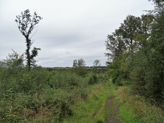
Image: © Robert Graham Taken: 13 Sep 2021
A mature conifer plantation north of Pont Lane in Leadgate, well used by local people.
Images are licensed for reuse under creativecommons.org/licenses/by-sa/2.0
Image Location
Latitude
54.864773
Longitude
-1.797742