St Michael's Primary School
Introduction
The photograph on this page of St Michael's Primary School by Russel Wills as part of the Geograph project.
The Geograph project started in 2005 with the aim of publishing, organising and preserving representative images for every square kilometre of Great Britain, Ireland and the Isle of Man.

There are currently over 7.5m images from over 14,400 individuals and you can help contribute to the project by visiting https://www.geograph.org.uk
St Michael's Primary School
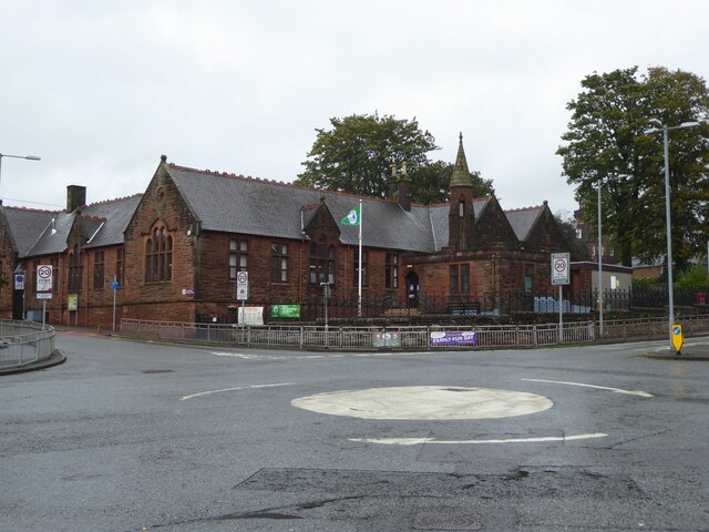
Image: © Russel Wills Taken: 30 Sep 2021
Originally, the school began as a Church School attached to the South Free Territorial Church. The school opened in 1865 and provided a general education - including Latin, for some pupils. 'At St Michael’s Primary we aim to provide a secure, supportive and friendly environment in which the children will develop skills and experiences, which will allow them to reach their full potential.' https://stmichaelsdumfries.dumgal.sch.uk/
Images are licensed for reuse under creativecommons.org/licenses/by-sa/2.0
Image Location
Latitude
55.063484
Longitude
-3.603784