Duntiglennan Farm
Introduction
The photograph on this page of Duntiglennan Farm by Richard Sutcliffe as part of the Geograph project.
The Geograph project started in 2005 with the aim of publishing, organising and preserving representative images for every square kilometre of Great Britain, Ireland and the Isle of Man.

There are currently over 7.5m images from over 14,400 individuals and you can help contribute to the project by visiting https://www.geograph.org.uk
Duntiglennan Farm
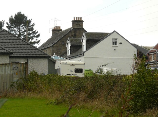
Image: © Richard Sutcliffe Taken: 1 Oct 2021
This photograph was taken to try to replicate the first image for the square Image photographed and submitted in 2005. Since that time a lot has changed. The white-coloured building has had dormer windows and a conservatory added, and new dwellings have been built alongside. The sign just outside reads 'Duntiglennan Farm and Steading'.
Images are licensed for reuse under creativecommons.org/licenses/by-sa/2.0
Image Location
Latitude
55.930215
Longitude
-4.419979