Paull village disused lighthouse
Introduction
The photograph on this page of Paull village disused lighthouse by Steve Fareham as part of the Geograph project.
The Geograph project started in 2005 with the aim of publishing, organising and preserving representative images for every square kilometre of Great Britain, Ireland and the Isle of Man.

There are currently over 7.5m images from over 14,400 individuals and you can help contribute to the project by visiting https://www.geograph.org.uk
Paull village disused lighthouse
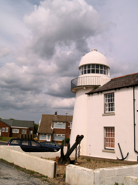
Image: © Steve Fareham Taken: 20 May 2007
Erected in 1836 but was already disused by the 1890s, now a private residence. http://www.paull-lighthouses.co.uk/
Images are licensed for reuse under creativecommons.org/licenses/by-sa/2.0
Image Location
Latitude
53.719363
Longitude
-0.234048