View over Pen y Gaer farm to the hillfort
Introduction
The photograph on this page of View over Pen y Gaer farm to the hillfort by Alan Hughes as part of the Geograph project.
The Geograph project started in 2005 with the aim of publishing, organising and preserving representative images for every square kilometre of Great Britain, Ireland and the Isle of Man.

There are currently over 7.5m images from over 14,400 individuals and you can help contribute to the project by visiting https://www.geograph.org.uk
View over Pen y Gaer farm to the hillfort
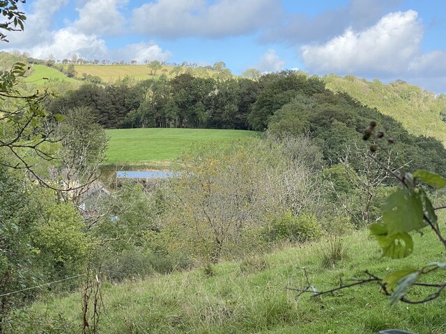
Image: © Alan Hughes Taken: 29 Sep 2021
Pen y Gaer hillfort. OS Grid: SN355231 The monument comprises the remains of a hillfort, which probably dates to the Iron Age period (c. 800 BC - AD 74, the Roman conquest of Wales). Hillforts are usually Iocated on hilltops and surrounded by a single or multiple earthworks of massive proportions. Hillforts must have formed symbols of power within the landscape, while their function may have had as much to do with ostentation and display as defence. Pen y Gaer is defended by a semi circular rampart on the west side. It is higher to the north than to the south. The rest of the defence is the steep natural slope. There are no signs of occupation in the interior. The entrance could be half-way round. The monument is of national importance for its potential to enhance our knowledge of later prehistoric defensive organisation and settlement. The site forms an important element within the wider later prehistoric context and within the surrounding landscape. The site is well preserved and retains considerable archaeological potential. There is a strong probability of the presence of evidence relating to chronology, building techniques and functional detail. The scheduled area comprises the remains described and areas around them within which related evidence may be expected to survive. Source: Cadw
Images are licensed for reuse under creativecommons.org/licenses/by-sa/2.0
Image Location


Leaflet Map data © OpenStreetMap
Latitude
51.882602
Longitude
-4.390285