Whitstone village stores and post office
Introduction
The photograph on this page of Whitstone village stores and post office by Jonathan Billinger as part of the Geograph project.
The Geograph project started in 2005 with the aim of publishing, organising and preserving representative images for every square kilometre of Great Britain, Ireland and the Isle of Man.

There are currently over 7.5m images from over 14,400 individuals and you can help contribute to the project by visiting https://www.geograph.org.uk
Whitstone village stores and post office
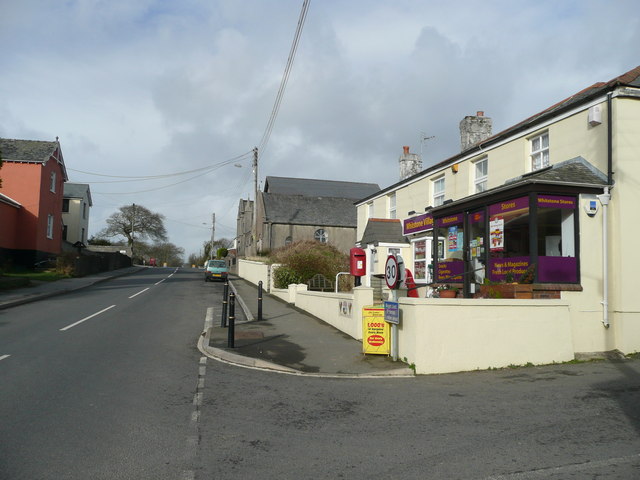
Image: © Jonathan Billinger Taken: 5 Feb 2008
By the B3254, the village is on the watershed between the Tamar flowing south and east, and the much shorter watercourses heading north and west to the Atlantic.
Images are licensed for reuse under creativecommons.org/licenses/by-sa/2.0
Image Location
Latitude
50.755136
Longitude
-4.457415