Disused entrance, The Croft, Burleigh Lane, Crawley Down
Introduction
The photograph on this page of Disused entrance, The Croft, Burleigh Lane, Crawley Down by Robin Webster as part of the Geograph project.
The Geograph project started in 2005 with the aim of publishing, organising and preserving representative images for every square kilometre of Great Britain, Ireland and the Isle of Man.

There are currently over 7.5m images from over 14,400 individuals and you can help contribute to the project by visiting https://www.geograph.org.uk
Disused entrance, The Croft, Burleigh Lane, Crawley Down
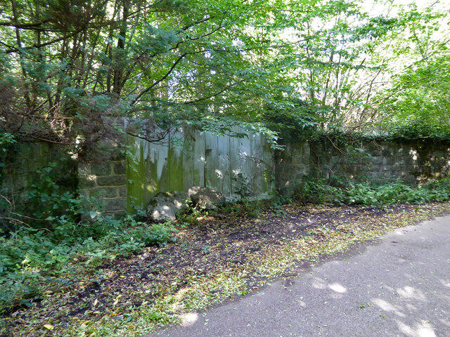
Image: © Robin Webster Taken: 22 Sep 2021
The large plot, which includes a house, appears disused. It, and the field to the west, have been identified as a potential area for housing development by the planning authority. It may be relevant that a company, Burleigh Lane Crawley Down Ltd, was set up at the end of 2020 by those with interests in property development. The lane is a private road but public footpath, 56W.
Images are licensed for reuse under creativecommons.org/licenses/by-sa/2.0
Image Location
Latitude
51.118259
Longitude
-0.071112