Farmland and woodland near Upper Arley in Worcestershire
Introduction
The photograph on this page of Farmland and woodland near Upper Arley in Worcestershire by Roger Kidd as part of the Geograph project.
The Geograph project started in 2005 with the aim of publishing, organising and preserving representative images for every square kilometre of Great Britain, Ireland and the Isle of Man.

There are currently over 7.5m images from over 14,400 individuals and you can help contribute to the project by visiting https://www.geograph.org.uk
Farmland and woodland near Upper Arley in Worcestershire
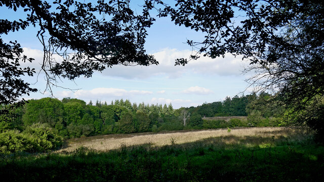
Image: © Roger Kidd Taken: 20 Sep 2021
Looking north-east. The farmland by Huntsfield Cottage is completely enclosed by Eymore Wood. The North Worcestershire Path from Upper Arley that I was on crosses it, though I must have had my eyes shut because I didn't see a gate (or look at my map properly), and continued along the good woodland track which skirts the southern edge of the clearing.
Images are licensed for reuse under creativecommons.org/licenses/by-sa/2.0
Image Location


Leaflet Map data © OpenStreetMap
Latitude
52.41365
Longitude
-2.336044