From Crick Road to Earlswood Road, Shirenewton
Introduction
The photograph on this page of From Crick Road to Earlswood Road, Shirenewton by Jaggery as part of the Geograph project.
The Geograph project started in 2005 with the aim of publishing, organising and preserving representative images for every square kilometre of Great Britain, Ireland and the Isle of Man.

There are currently over 7.5m images from over 14,400 individuals and you can help contribute to the project by visiting https://www.geograph.org.uk
From Crick Road to Earlswood Road, Shirenewton
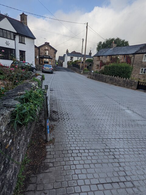
Image: © Jaggery Taken: 26 Sep 2021
Opposite the Ditch Hill Lane junction https://www.geograph.org.uk/photo/6977810 Crick Road becomes Earlswood Road. Newton Lodge https://www.geograph.org.uk/photo/3179282 is on the left.
Images are licensed for reuse under creativecommons.org/licenses/by-sa/2.0
Image Location
Latitude
51.639222
Longitude
-2.755126