Semis at the junction of William Bristow and Montalt Roads
Introduction
The photograph on this page of Semis at the junction of William Bristow and Montalt Roads by Christine Johnstone as part of the Geograph project.
The Geograph project started in 2005 with the aim of publishing, organising and preserving representative images for every square kilometre of Great Britain, Ireland and the Isle of Man.

There are currently over 7.5m images from over 14,400 individuals and you can help contribute to the project by visiting https://www.geograph.org.uk
Semis at the junction of William Bristow and Montalt Roads
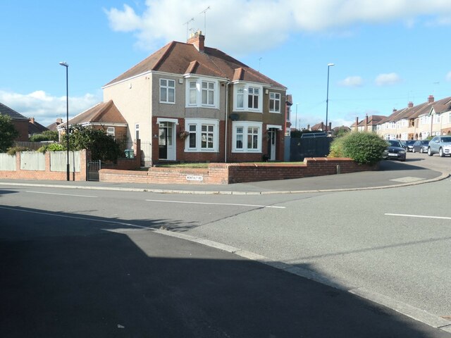
Image: © Christine Johnstone Taken: 24 Sep 2021
Shown as built on the 6 inch OS map surveyed in 1937. Each house is in a different road.
Images are licensed for reuse under creativecommons.org/licenses/by-sa/2.0
Image Location
Latitude
52.391308
Longitude
-1.497988