Field on east side of B6306
Introduction
The photograph on this page of Field on east side of B6306 by Trevor Littlewood as part of the Geograph project.
The Geograph project started in 2005 with the aim of publishing, organising and preserving representative images for every square kilometre of Great Britain, Ireland and the Isle of Man.

There are currently over 7.5m images from over 14,400 individuals and you can help contribute to the project by visiting https://www.geograph.org.uk
Field on east side of B6306
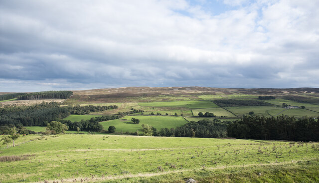
Image: © Trevor Littlewood Taken: 26 Sep 2021
The field descends towards the River Derwent south-west of the Derwent Reservoir. The ground beyond the valley rises to the moorland of Bainbridge Hill and Ruffside Moor.
Images are licensed for reuse under creativecommons.org/licenses/by-sa/2.0
Image Location
Latitude
54.85433
Longitude
-2.040622