Radford Road, Coventry
Introduction
The photograph on this page of Radford Road, Coventry by Stephen McKay as part of the Geograph project.
The Geograph project started in 2005 with the aim of publishing, organising and preserving representative images for every square kilometre of Great Britain, Ireland and the Isle of Man.

There are currently over 7.5m images from over 14,400 individuals and you can help contribute to the project by visiting https://www.geograph.org.uk
Radford Road, Coventry
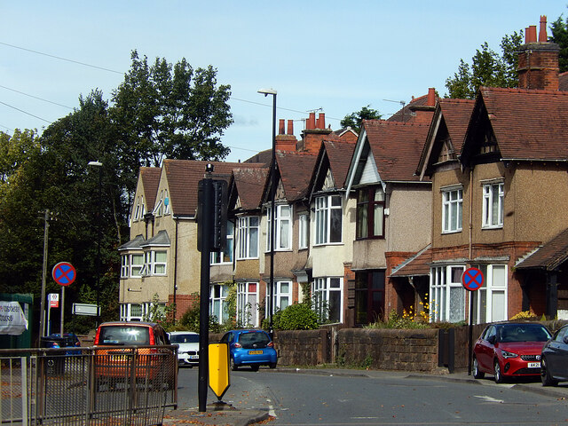
Image: © Stephen McKay Taken: 23 Sep 2021
A row of houses lines the east side of Radford Road, seen here from its junction with Light Lane. Radford Road forms part of the B4098 heading out of Coventry city centre towards the suburbs of Radford and Keresley.
Images are licensed for reuse under creativecommons.org/licenses/by-sa/2.0
Image Location
Latitude
52.415022
Longitude
-1.514921