River Severn (north bank) at Upper Arley, Worcestershire
Introduction
The photograph on this page of River Severn (north bank) at Upper Arley, Worcestershire by Roger Kidd as part of the Geograph project.
The Geograph project started in 2005 with the aim of publishing, organising and preserving representative images for every square kilometre of Great Britain, Ireland and the Isle of Man.

There are currently over 7.5m images from over 14,400 individuals and you can help contribute to the project by visiting https://www.geograph.org.uk
River Severn (north bank) at Upper Arley, Worcestershire
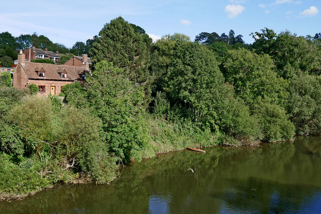
Image: © Roger Kidd Taken: 20 Sep 2021
The outside bend of the meander has resulted in a very steep river bank here south-east of the village. It is kept well wooded to encourage srtability. The Severn Way footpath passes through the trees towards Timperley Reservoir.
Images are licensed for reuse under creativecommons.org/licenses/by-sa/2.0
Image Location
Latitude
52.418481
Longitude
-2.344315