Yarnton Way, Thamesmead
Introduction
The photograph on this page of Yarnton Way, Thamesmead by Malc McDonald as part of the Geograph project.
The Geograph project started in 2005 with the aim of publishing, organising and preserving representative images for every square kilometre of Great Britain, Ireland and the Isle of Man.

There are currently over 7.5m images from over 14,400 individuals and you can help contribute to the project by visiting https://www.geograph.org.uk
Yarnton Way, Thamesmead
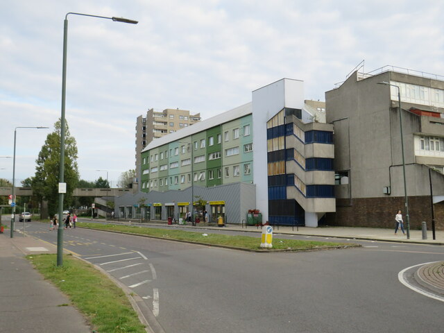
Image: © Malc McDonald Taken: 18 Sep 2021
Yarnton Way is a dual carriageway road in Thamesmead, in south east London. Some of the buildings on the opposite side of the road have been given a facelift, to improve their appearance.
Images are licensed for reuse under creativecommons.org/licenses/by-sa/2.0
Image Location
Latitude
51.496375
Longitude
0.128355