Links Road in Uphill
Introduction
The photograph on this page of Links Road in Uphill by Mat Fascione as part of the Geograph project.
The Geograph project started in 2005 with the aim of publishing, organising and preserving representative images for every square kilometre of Great Britain, Ireland and the Isle of Man.

There are currently over 7.5m images from over 14,400 individuals and you can help contribute to the project by visiting https://www.geograph.org.uk
Links Road in Uphill
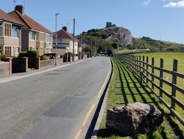
Image: © Mat Fascione Taken: 20 Sep 2021
Overlooked by St Nicholas' Church, described as 'Norman' but remodelled in the later Middle Ages. Regular services ceased in 1846. The church is partially ruined but still consists of a tower, chancel and a roofless nave.
Images are licensed for reuse under creativecommons.org/licenses/by-sa/2.0
Image Location
Latitude
51.32216
Longitude
-2.98698