Castle Hill
Introduction
The photograph on this page of Castle Hill by Roger Templeman as part of the Geograph project.
The Geograph project started in 2005 with the aim of publishing, organising and preserving representative images for every square kilometre of Great Britain, Ireland and the Isle of Man.

There are currently over 7.5m images from over 14,400 individuals and you can help contribute to the project by visiting https://www.geograph.org.uk
Castle Hill
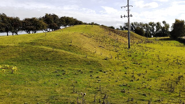
Image: © Roger Templeman Taken: 19 Sep 2021
An Ordnance Survey triangulation station was levelled at 175.577 feet above Liverpool Datum during the 1842-1845 Selby to Newcastle-upon-Tyne 1GL Survey at this location. The surveyor's description was: 'Branch Levelling from No. 102. Castle Hill triangulation station, 32 chains west of Northallerton Church. Centre stone ; 1.50 ft. below surface'
Images are licensed for reuse under creativecommons.org/licenses/by-sa/2.0
Image Location
Latitude
54.34181
Longitude
-1.445923