Melton Road, Waltham on the Wolds
Introduction
The photograph on this page of Melton Road, Waltham on the Wolds by Kate Jewell as part of the Geograph project.
The Geograph project started in 2005 with the aim of publishing, organising and preserving representative images for every square kilometre of Great Britain, Ireland and the Isle of Man.

There are currently over 7.5m images from over 14,400 individuals and you can help contribute to the project by visiting https://www.geograph.org.uk
Melton Road, Waltham on the Wolds
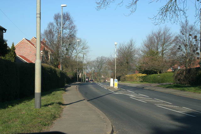
Image: © Kate Jewell Taken: 17 Feb 2008
The busy A607 to Grantham cuts through Waltham. There have been recent traffic calming measures made including pedestrian islands and a reduced width carriageway on the approach to the village. There is also a 20 miles per hour speed limit outside the school. Unfortunately none of these measures seem to have much effect on drivers. Photograph taken looking north from the corner of Moor Leys Lane.
Images are licensed for reuse under creativecommons.org/licenses/by-sa/2.0
Image Location


Leaflet Map data © OpenStreetMap
Latitude
52.814713
Longitude
-0.813128