Strawberry Line NCN26 at Lower New Road in Cheddar
Introduction
The photograph on this page of Strawberry Line NCN26 at Lower New Road in Cheddar by Kevin Pearson as part of the Geograph project.
The Geograph project started in 2005 with the aim of publishing, organising and preserving representative images for every square kilometre of Great Britain, Ireland and the Isle of Man.

There are currently over 7.5m images from over 14,400 individuals and you can help contribute to the project by visiting https://www.geograph.org.uk
Strawberry Line NCN26 at Lower New Road in Cheddar
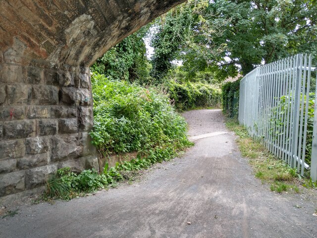
Image: © Kevin Pearson Taken: 17 Sep 2021
A view east along the Strawberry Line path NCN26 from under the Lower New Road Bridge in Cheddar. The path narrows from here to its end at Valley Line Industrial Estate, and the path surface changes here at the concrete lip in the photograph, going from a packed grit surface to a loose gravel path. The end of the path at Valley Line Industrial Estate has a large metal barrier and a kerb to access the road.
Images are licensed for reuse under creativecommons.org/licenses/by-sa/2.0
Image Location
Latitude
51.277629
Longitude
-2.788033