West View, Hartlepool
Introduction
The photograph on this page of West View, Hartlepool by David Robinson as part of the Geograph project.
The Geograph project started in 2005 with the aim of publishing, organising and preserving representative images for every square kilometre of Great Britain, Ireland and the Isle of Man.

There are currently over 7.5m images from over 14,400 individuals and you can help contribute to the project by visiting https://www.geograph.org.uk
West View, Hartlepool
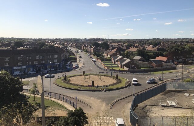
Image: © David Robinson Taken: 20 Sep 2021
West View, a suburb of Hartlepool, taken from the Railway. The road passing under the bridge connected the town to the former large Steetley Magnesite works. The works area is being redeveloped as housing.
Images are licensed for reuse under creativecommons.org/licenses/by-sa/2.0
Image Location
Latitude
54.709315
Longitude
-1.221776