Old Boundary Marker on North Quay, Plymouth
Introduction
The photograph on this page of Old Boundary Marker on North Quay, Plymouth by T Jenkinson as part of the Geograph project.
The Geograph project started in 2005 with the aim of publishing, organising and preserving representative images for every square kilometre of Great Britain, Ireland and the Isle of Man.

There are currently over 7.5m images from over 14,400 individuals and you can help contribute to the project by visiting https://www.geograph.org.uk
Old Boundary Marker on North Quay, Plymouth
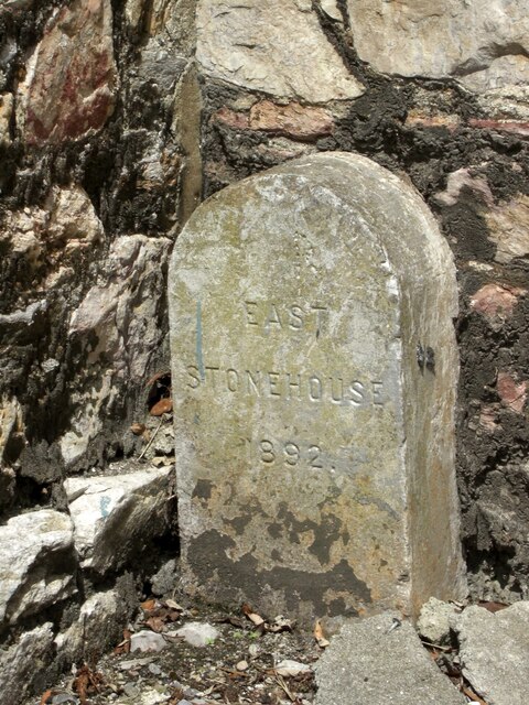
Image: © T Jenkinson Taken: 16 May 2012
Municipal Boundary Marker between buttresses and against a stone wall on the north side of North Quay, behind the buildings on the south side of Millbay Road. Erected by East Stonehouse Local Board of Health. Milestone Society National ID: DV_ESBS01pb
Images are licensed for reuse under creativecommons.org/licenses/by-sa/2.0
Image Location
Latitude
50.366845
Longitude
-4.158772