Choked
Introduction
The photograph on this page of Choked by Ian Paterson as part of the Geograph project.
The Geograph project started in 2005 with the aim of publishing, organising and preserving representative images for every square kilometre of Great Britain, Ireland and the Isle of Man.

There are currently over 7.5m images from over 14,400 individuals and you can help contribute to the project by visiting https://www.geograph.org.uk
Choked
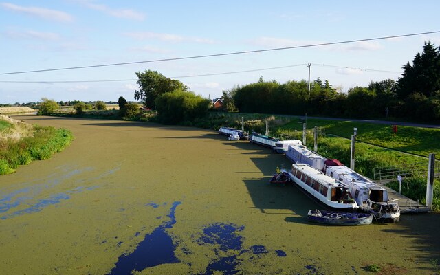
Image: © Ian Paterson Taken: 20 Sep 2021
The algae blooming on the surface of the River Witham at Tattershall Bridge makes the river look like a roadway rather than a waterway.
Images are licensed for reuse under creativecommons.org/licenses/by-sa/2.0
Image Location
Latitude
53.088871
Longitude
-0.213377