Rhyne beside NCN3
Introduction
The photograph on this page of Rhyne beside NCN3 by Kevin Pearson as part of the Geograph project.
The Geograph project started in 2005 with the aim of publishing, organising and preserving representative images for every square kilometre of Great Britain, Ireland and the Isle of Man.

There are currently over 7.5m images from over 14,400 individuals and you can help contribute to the project by visiting https://www.geograph.org.uk
Rhyne beside NCN3
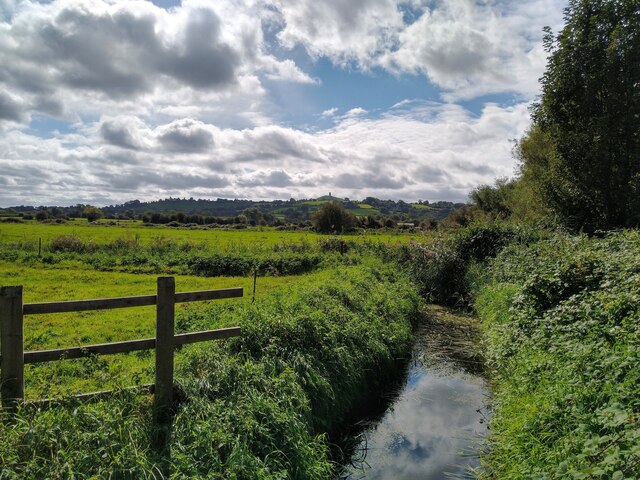
Image: © Kevin Pearson Taken: 19 Sep 2021
A rhyne beside the NCN3 path as it follows the A39 Wells Road. Photograph taken looking south towards the path's junction with Tin Bridge Roundabout. Glastonbury Tor is in the background.
Images are licensed for reuse under creativecommons.org/licenses/by-sa/2.0
Image Location
Latitude
51.166248
Longitude
-2.698317