Scaffolding along Oldland Bottom
Introduction
The photograph on this page of Scaffolding along Oldland Bottom by Neil Owen as part of the Geograph project.
The Geograph project started in 2005 with the aim of publishing, organising and preserving representative images for every square kilometre of Great Britain, Ireland and the Isle of Man.

There are currently over 7.5m images from over 14,400 individuals and you can help contribute to the project by visiting https://www.geograph.org.uk
Scaffolding along Oldland Bottom
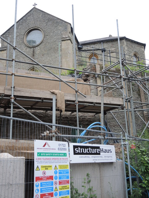
Image: © Neil Owen Taken: 19 Jun 2021
St Ann's church stands on a small but steep patch of land beside the Siston Brook. Given the weight of a large amount of earth the walls are needing some significant extra support.
Images are licensed for reuse under creativecommons.org/licenses/by-sa/2.0
Image Location


Leaflet Map data © OpenStreetMap
Latitude
51.43837
Longitude
-2.478024